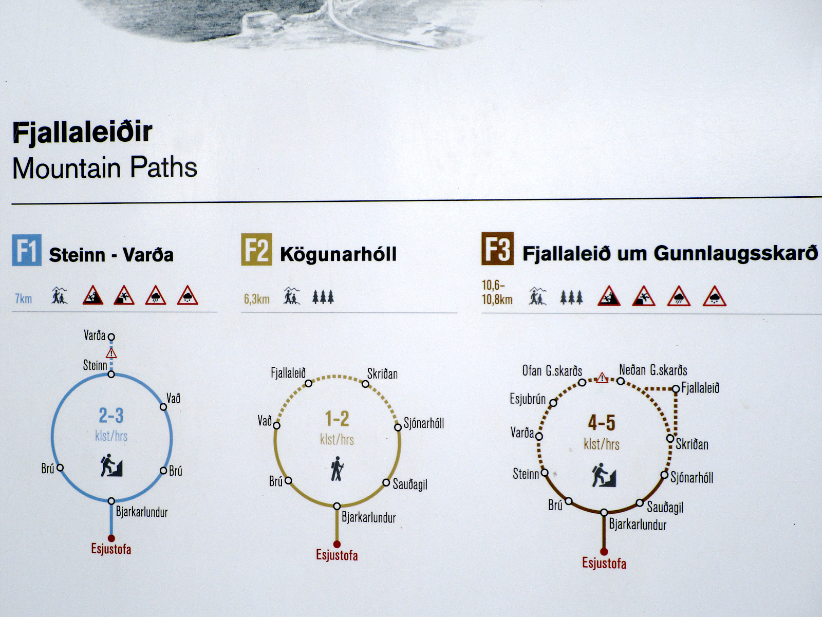
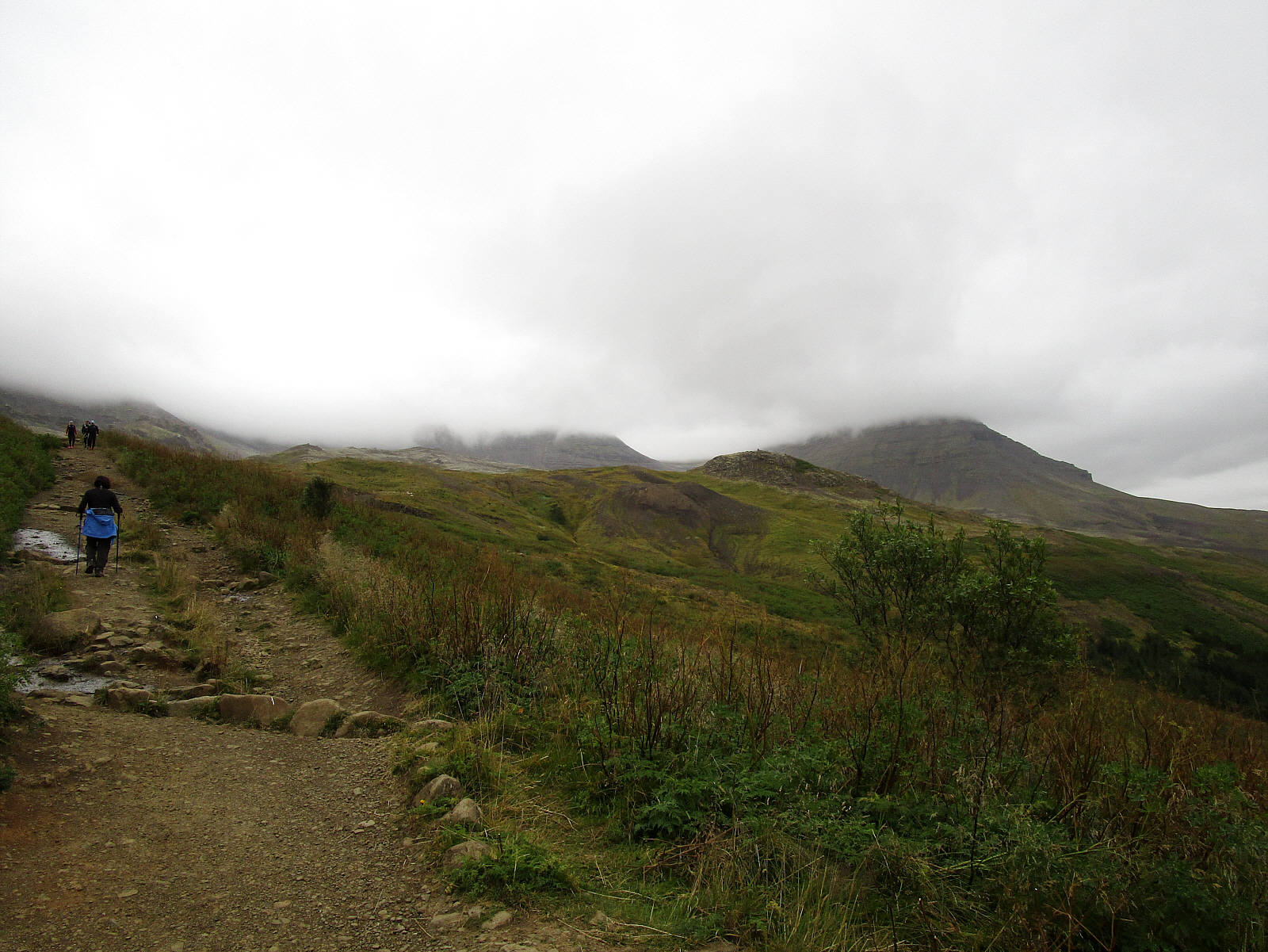
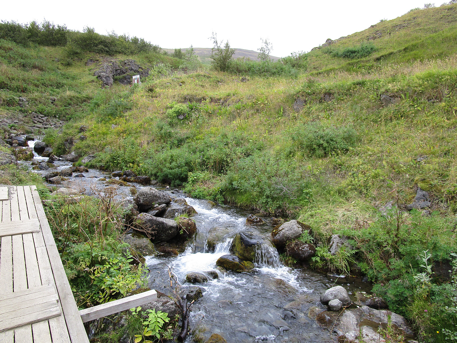
The next day (Sat, Sept 8); Driving south from Glymur to Hveragerði -- stopping at Mount Esja along the way for this hike. A trail sign just over this stream provides information about the hikes in the area.


I realize that 3 weeks was not enough time ahead of this trip to learn the Islandic language, haha -- but I review the trailhead sign (pictured) and figure out which hike to take. The blue loop trail from Bjarkarlundur to Steinn and back was a strenuous uphill climb that took about 3 hours (with an elevation gain of about 1800 feet over 6 or 7 miles, estimated). Minimal views today due to cold cloudy conditions and some rain, but a fun hike anyway -- and the biggest I did here in Iceland.


Following other hikers on the trail that seems to go endlessly straight up into the clouds.
There's no up & down on this trail -- it's *all* up.


Tip: <F11> for full-screen viewing . . . . Page 29 of 64